
















返回列表
基于局域-全局特征增强网络和无人机高光谱遥感的荒漠草地物种分类
遥感应用
2026/09/21
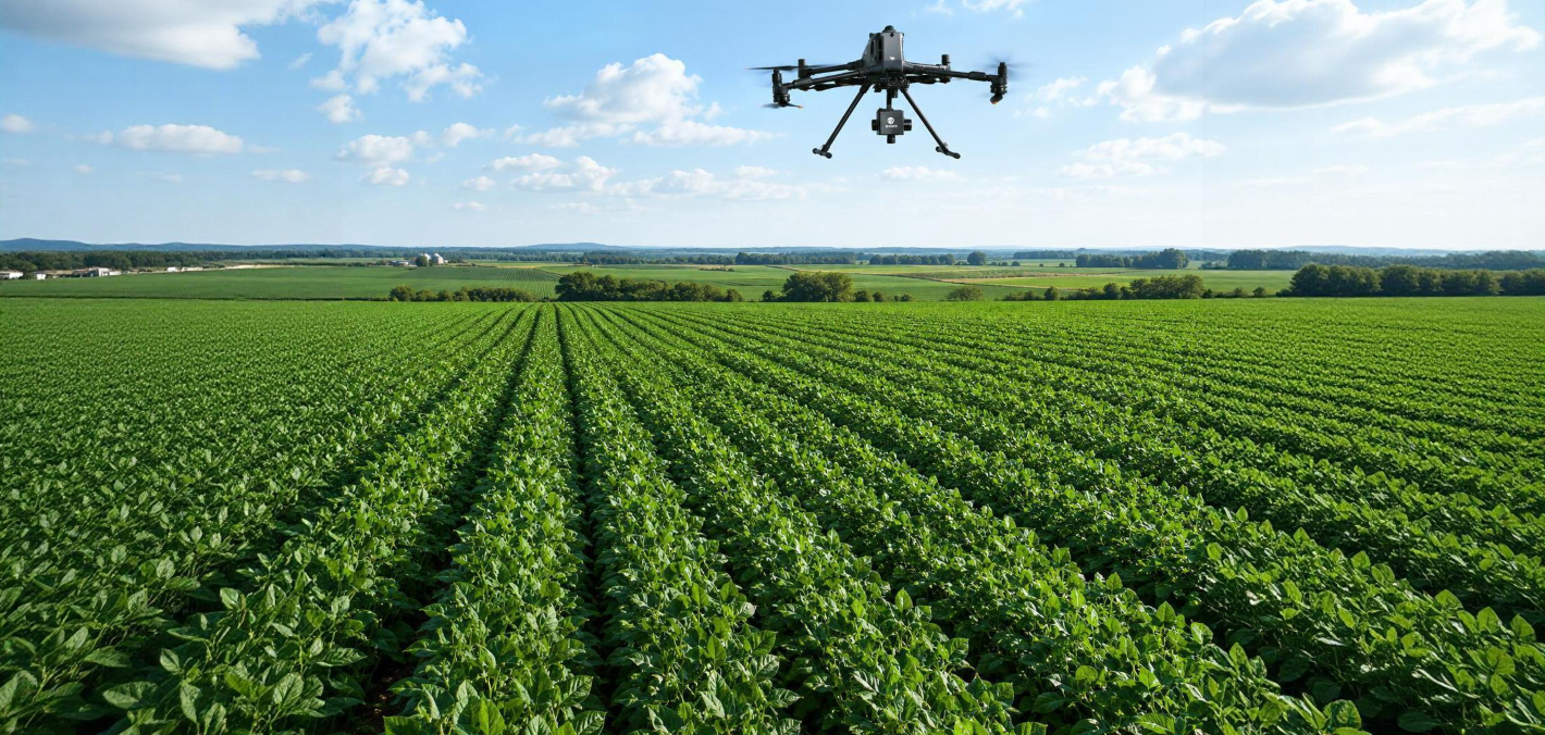
摘要:草地生态系统是陆地生态系统的重要组成部分,对构筑生态屏障、促进草原经济发展、维护社会稳定具有重要作 用。近几十年来,由于全球气候变化和人为过度利用草地的共同作用,中国北方草原发生了大面积退化。了解草地退化 物种的空间分布,有助于评价草地退化过程,制定相应的保护措施。这对草地退化监测具有重要意义。为解决传统地面 调查的局限性,实现智能遥感草地退化监测任务,采用无人机(UAV)高光谱遥感技术采集荒漠草原植被物种数据。本文提 出了一种基于局部-全局特征增强网络(LGFEN)的荒漠草地物种分类方法。该方法采用局部特征增强(LFE)模块和全局特 征增强(GFE)模块分别从高光谱图像中提取局部信息和空间信息。此外,引入了卷积块注意模块(CBAM),细化了 hsi 的 特征,提高了分类性能的稳定性。结果表明,与现有的HSI分类方法相比,该方法具有更好的分类性能。在每个类只有 10 个训练样本的情况下,该方法的总体准确率为 98.61%,平均准确率为 97.61%,kappa 系数为 0.9815。该方法为高精 度、高效率的草地生态系统动态监测提供了新的途径。
关键词:荒漠草原、高光谱图像分类、卷积神经网络、无人机、物种分类
期刊:Elsevier:Ecological Informatics
DOI:https://DOI.org/10.1016/j.ecoinf.2022.101852
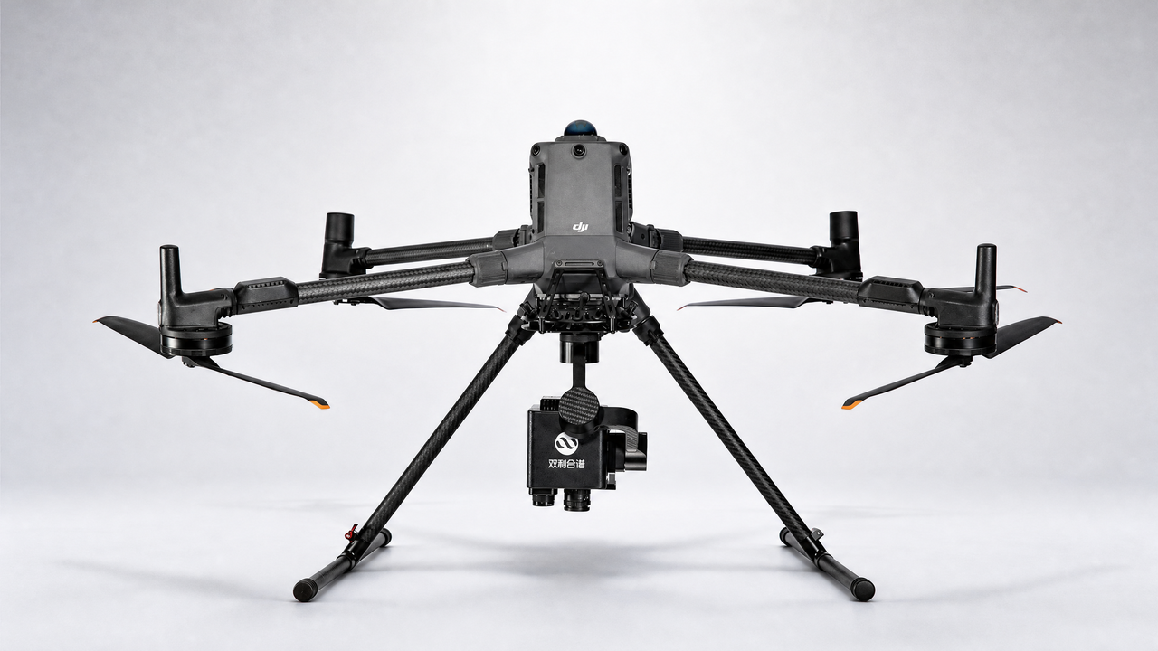
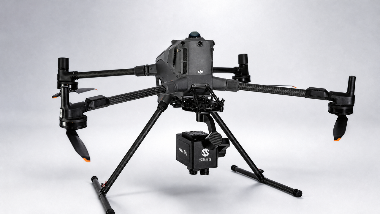
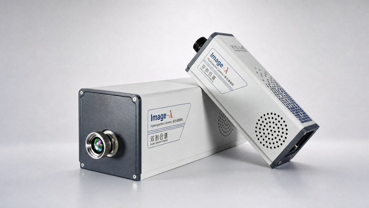
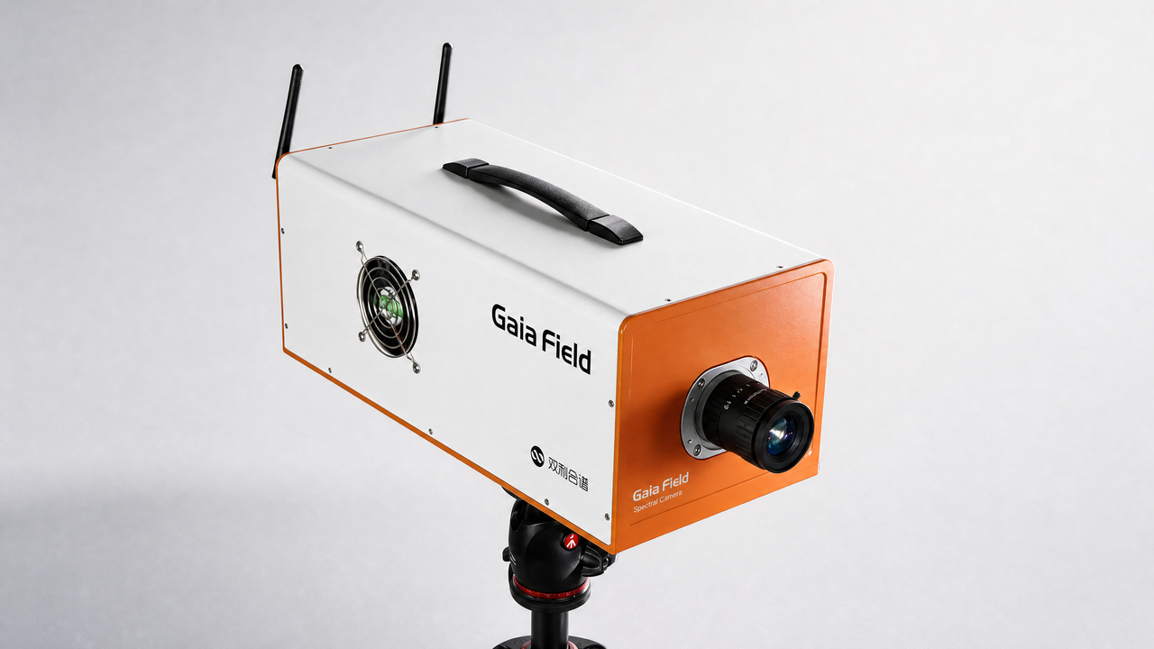
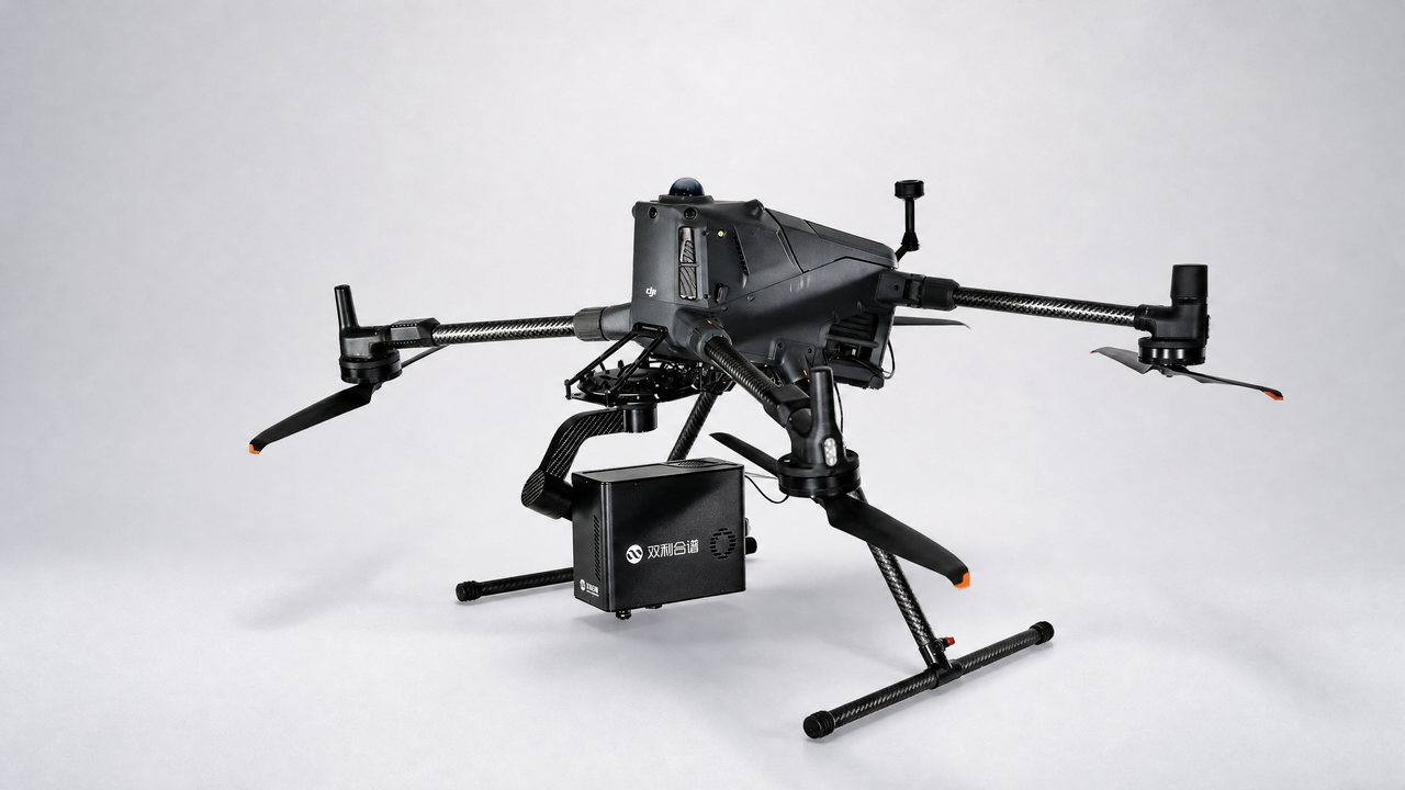
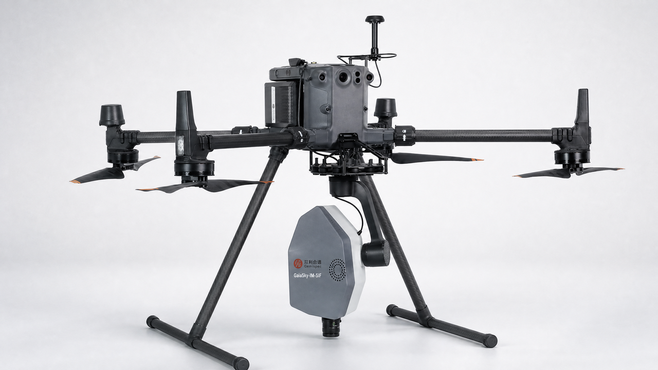
设备:GaiaSky
Classification of desert grassland species based on a local-global feature enhancement network and UAV hyperspectral remote sensing
Abstract:Grassland ecosystems are an important part of terrestrial ecosystems and are important for building ecological barriers, promoting the pastoral economy, and maintaining social stability. In recent decades, grasslands in northern China have undergone extensive degradation due to the combined effects of global climate change and the anthropogenic overuse of grasslands. An understanding of the spatial distribution of grassland degradation species is helpful for evaluating the process of grassland degradation and formulating appropriate protective measures. This is important for grassland degradation monitoring. To address the limitations of traditional ground surveys and realize intelligent remote sensing grassland degradation monitoring tasks, we use unmanned aerial vehicle (UAV) hyperspectral remote sensing technology to collect data on vegetation species in desert grasslands. In this paper, we propose a local-global feature enhancement network (LGFEN) for the classification of desert grassland species. The method uses the local feature enhancement (LFE) module and global feature enhancement (GFE) module to extract local and spatial information from hyperspectral images (HSIs), respectively. In addition, the introduction of the convolutional block attention module (CBAM) refines the features of HSIs, improving the stability of the classification performance. The results show that the proposed method has superior classification performance compared with existing HSI classification methods. With only 10 training samples per class, the overall accuracy, average accuracy, and kappa coefficient of the proposed method were 98.61%, 97.61%, and 0.9815, respectively. The proposed method provides a new approach for high-precision and high-efficiency dynamic monitoring of grassland ecosystems.
Keywords:Desert grassland Hyperspectral image classification Convolutional neural network Unmanned aerial vehicle Species classification