















返回列表
基于高光谱图像的多尺度空间与光谱特征融合土壤碳含量预测
遥感应用
2026/09/21
摘要:基于高光谱图像的土壤碳含量预测可以实现大尺度空间测量,具有覆盖范围广、信息采集速度快等优点,更适合 于野外数据采集。然而,基于高光谱图像的土壤碳含量预测研究主要集中在光谱信息的特征提取上,忽略了空间信息, 不能很好地揭示数据内在的结构特征。针对高光谱图像缺乏对空间特征的考虑,提出了基于多尺度特征融合的高光谱图 像土壤碳含量预测方法。在提取高光谱图像光谱特征的同时,首次利用空间信息,设计了多尺度光谱与空间特征网络 ((SpeSpaMN)。在SpeSpaMN中,构建多尺度光谱特征网络((SpeMN)提取光谱特征,构建多尺度空间特征网络((SpaMN) 提取空间特征。利用不同尺度特征之间的互补关系将两个网络融合,实现基于多尺度特征融合的土壤碳含量预测。结果 表明,SpeSpaMN法的检测结果最好,SpeMN法次之。SpeSpaMN对内陆、鳌山湾和胶州湾的RPD分别提高了47.36%、 37.96%和 4.30%。该方法可以有效解决高光谱图像土壤碳含量预测中空间和光谱特征的深度融合问题,从而提高土壤碳 含量预测的精度和稳定性。
关键词:土壤碳;高光谱图像;深度学习;特征提取。
期刊:Ecological Indicators
DOI:https://doi.org/10.1016/j.ecolind.2024.111843
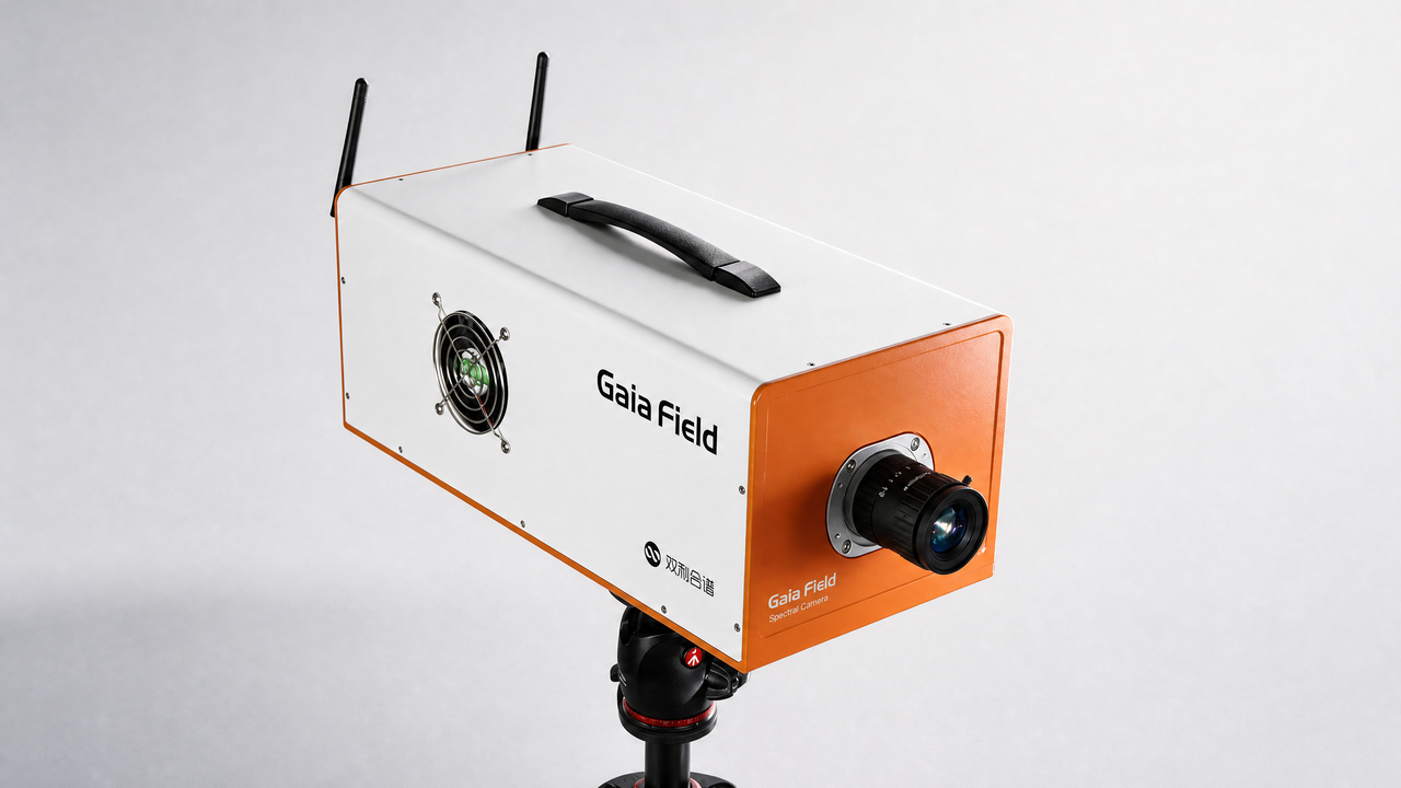
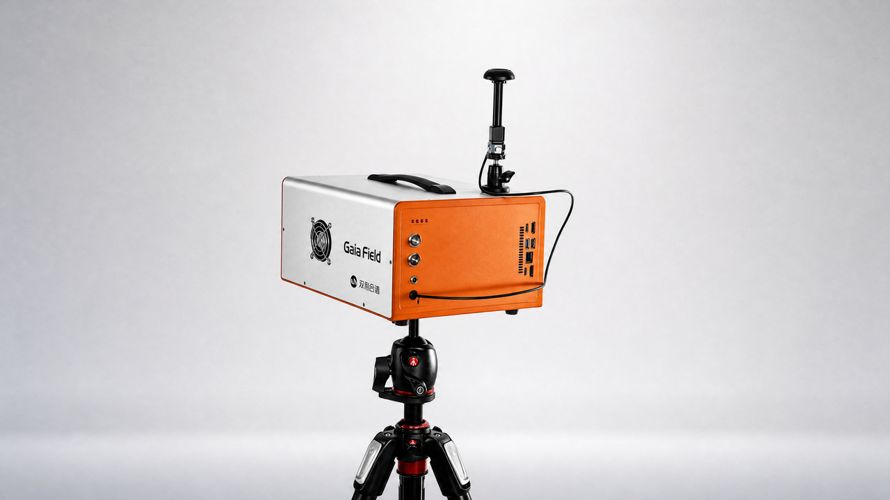
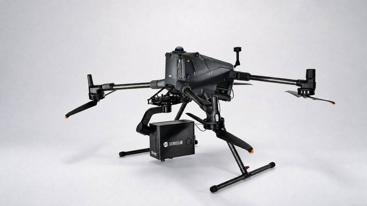
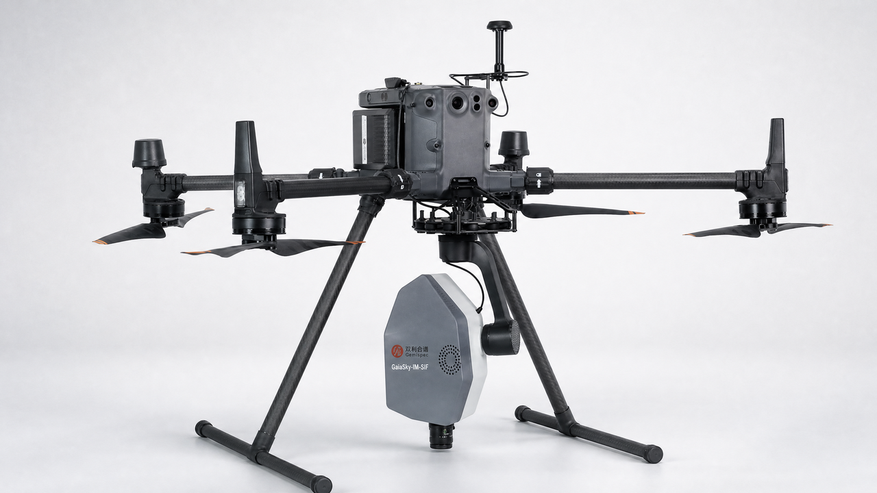
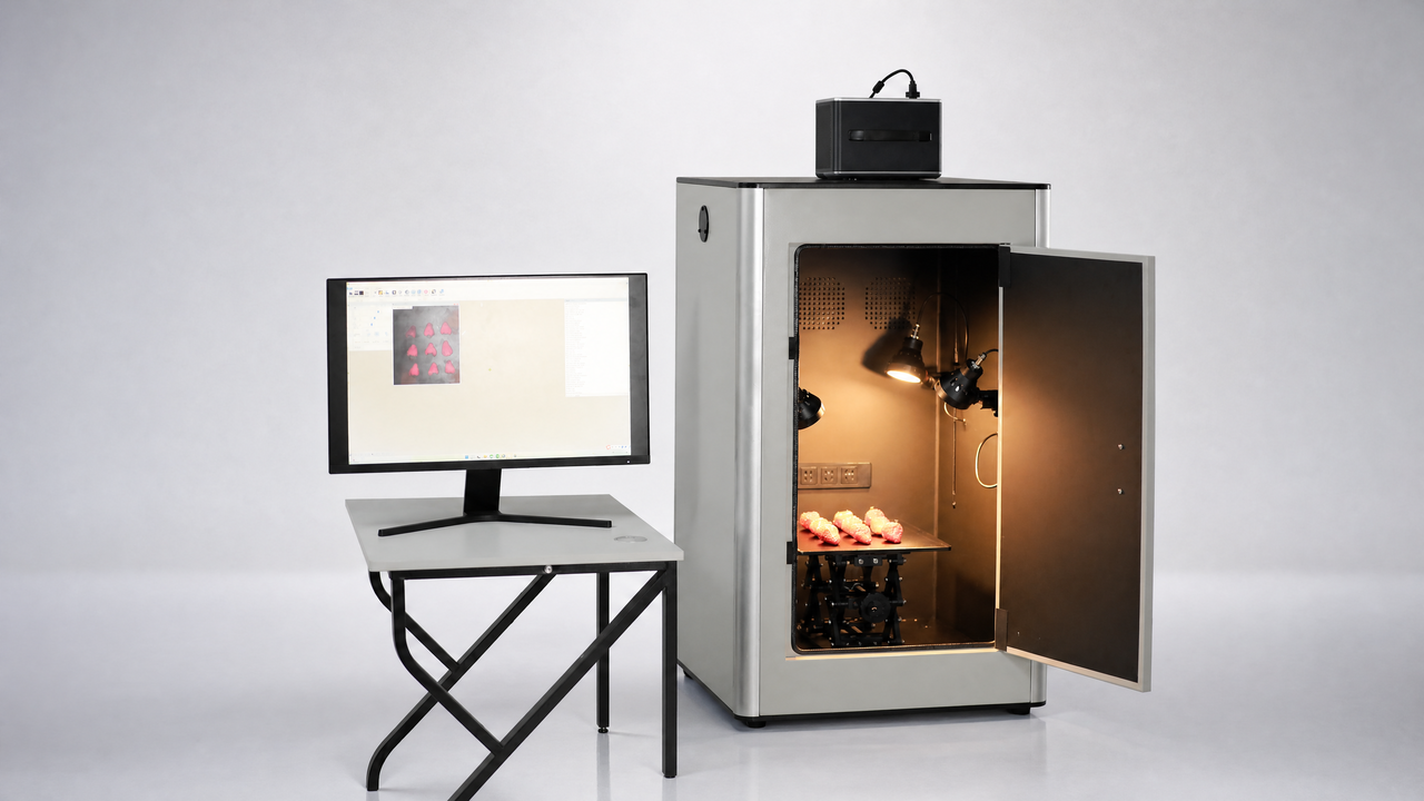
设备:GaiaField
Multi-scale spatial and spectral feature fusion for soil carbon content prediction based on hyperspectral images
Abstract:Soil carbon content prediction based on hyperspectral images can achieve large-scale spatial measurement, which has the advantages of wide coverage and fast information collection, is more suitable for field data collection. However, the research on soil carbon content prediction based on hyperspectral images mainly fo cuses on feature extraction of spectral information, ignoring the spatial information, and cannot well reveal the intrinsic structural characteristics of data. Aiming at the lack of spatial features consideration in hyperspectral images, soil carbon content prediction methods based on multi-scale feature fusion are proposed by hyper spectral image. At the same time of extracting spectral features from hyperspectral images, the spatial infor mation is used for the first time and a multi-scale spectral and spatial feature network (SpeSpaMN) is designed. In the SpeSpaMN, the multi-scale spectral feature network (SpeMN) is constructed to extract spectral features, the multi-scale spatial feature network (SpaMN) is constructed to extract spatial features. The two networks are fused by using the complementary relationship between different scale features to achieve soil carbon content pre diction based on multi-scale feature fusion. The results showed that SpeSpaMN had the best results compared to other methods, followed by the method of SpeMN. The RPD of Inland, Aoshan Bay and Jiaozhou Bay samples based on SpeSpaMN were increased by 47.36%, 37.96% and 4.30% respectively. This paper can effectively solve the problem of the deep fusion of spatial and spectral features in the soil carbon content prediction by hyper spectral image, so as to improve the accuracy and stability of soil carbon content prediction.
Keywords:Soil carbon, Hyperspectral images, Deep learning, Feature extraction.