










返回列表
基于无人机高光谱遥感和连续去除植被指数的荒漠草原物种分类
遥感应用
2026/09/21
摘要:草地物种组成是评估草地生态健康的关键指标,为获取内蒙古格根塔拉荒漠草原物种分布情况,采用基于无人机 的新型高光谱成像系统获取影像,通过光谱变换,增大物种光谱差异性,利用光谱变换植被指数构建荒漠草原物种分类 特征,采用最大类间方差比较反射率植被指数、一阶变换微分植被指数、对数变换植被指数和连续去除变换植被指数, 选取分类特征并计算分类阈值。利用该新方法实现了荒漠草原关键种短花针茅(( Stipa breviflora Griseb.)、冷蒿(( Artemisia frigida Willd.)、小叶猪毛菜(( Salsola collina Pall.)的分类识别,对认识草原生态系统的演化规律具有积极作用,可为草原 生态管理提供量化指标。
关键词:荒漠草原、高光谱遥感、无人机、连续体去除变换、植被指数、物种分类
期刊:Optik
DOI:https://DOI.org/10.1016/j.ijleo.2021.167877
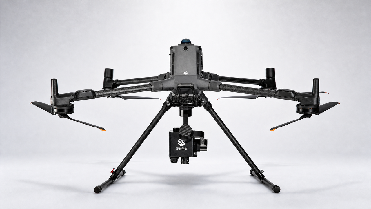
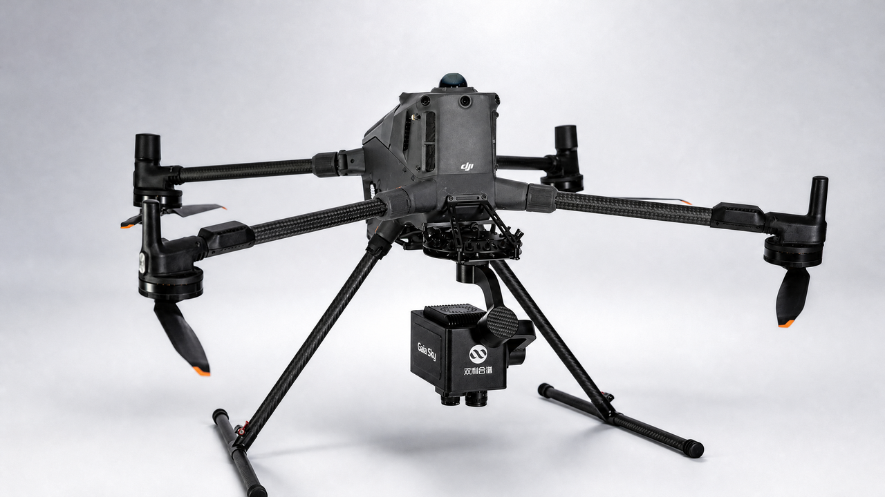
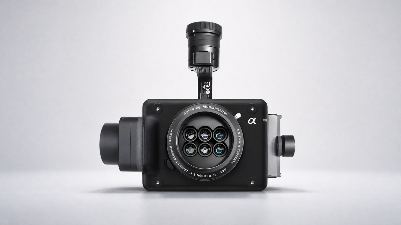
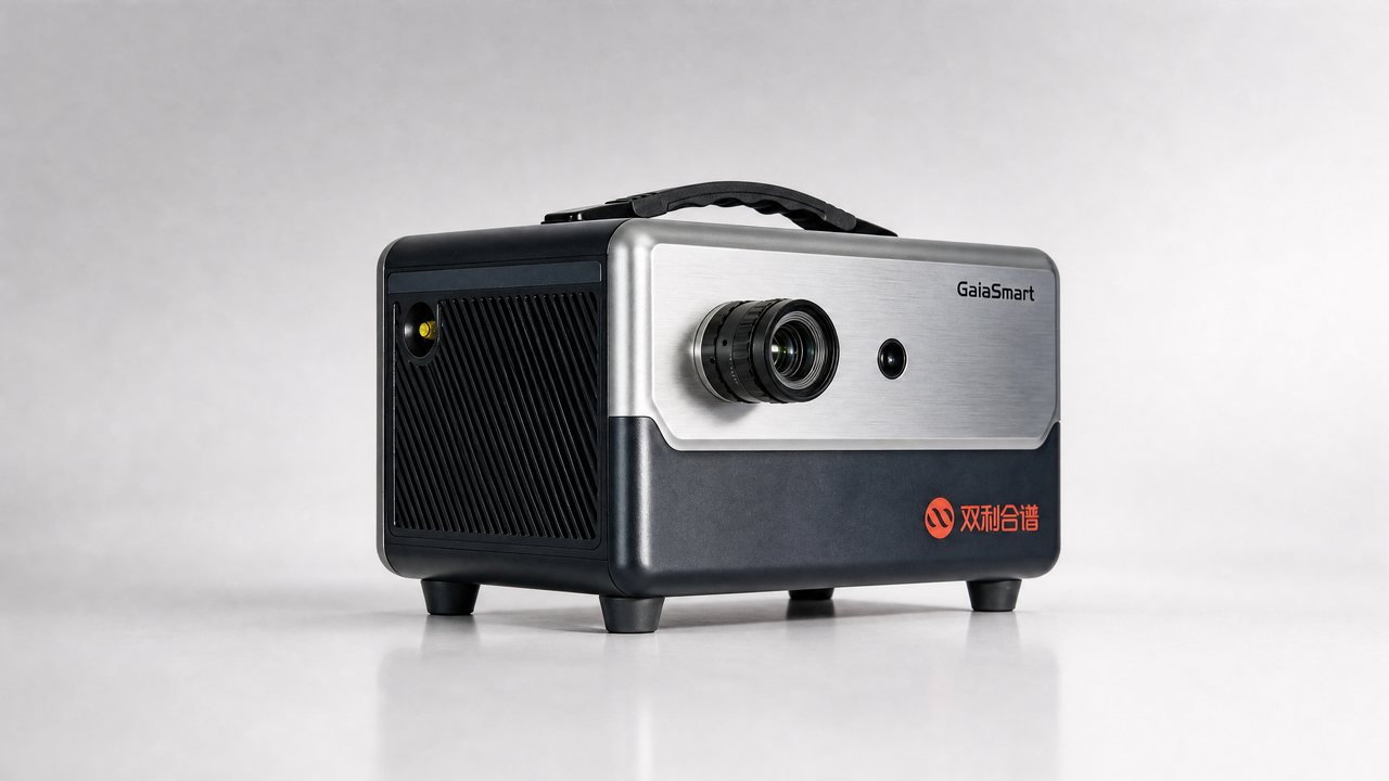
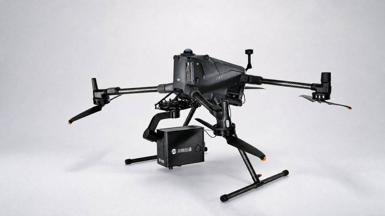
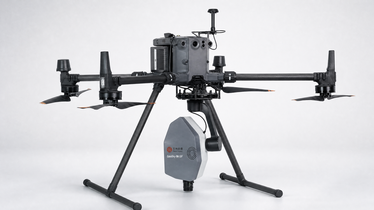
设备:GaiaSky
Classification of desert steppe species based on unmanned aerial vehicle hyperspectral remote sensing and continuum removal vegetation indices
Abstract:Grassland species composition is a key indicator for assessing grassland ecological health. In order to obtain the distribution of species in the desert steppe of Gegen tara, Inner Mongolia, China, we used a new hyperspectral imaging system based on an unmanned aerial vehicle to acquire images. Through spectral transformation, the spectral difference of species was increased. The classification features of desert steppe species were constructed by spectral transformation vegetation indices. The maximum interclass variance was used to compare the reflectance vegetation index, the first order transformation differential vegetation index, the logarithm transformation vegetation index and the continuum removal transformation vegetation index, to select the classification features and to calculate the classification threshold. The classification decision tree model constructed by continuum removal transformation normalized differential vegetation index and continuum removal transformation difference vegetation index has the best effect on desert steppe species classification, and the overall classification accuracy and Kappa coefficient are 87% and 0.8. The classification and identification of keystone species Stipa breviflora Griseb., Artemisia frigida Willd., and Salsola collina Pall. in the desert steppe were realized by this new method. Our study will have a positive effect on the understanding of the evolutionary law of grassland ecosystems, and provide quantitative indicators for grassland ecological management.
Keywords:Desert steppe Hyperspectral remote sensing Unmanned aerial vehicle Continuum removal transformation vegetation index Species classification