













返回列表
探索基于无人机的高光谱影像在松树枯萎病检测中的潜力:时空尺度的影响
遥感应用
2026/09/21
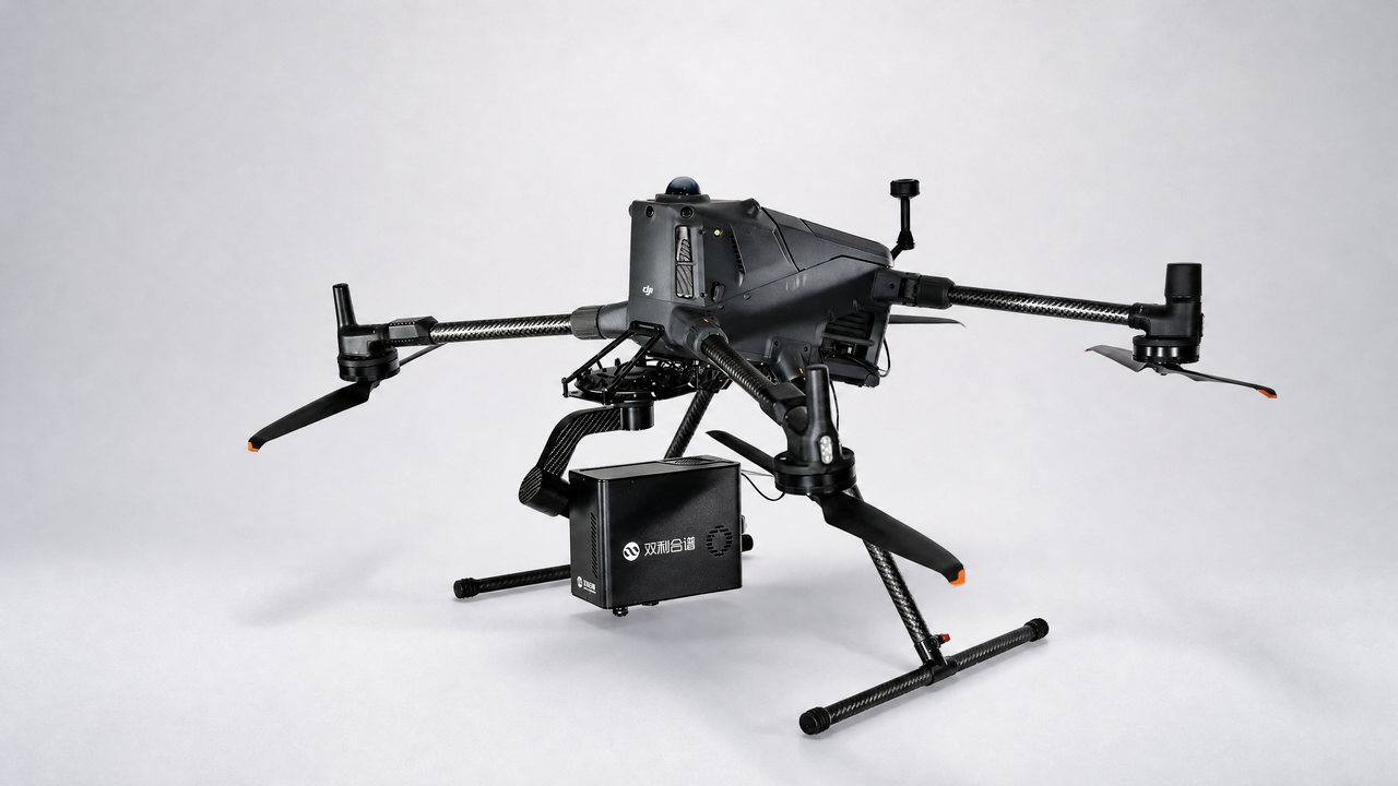
摘要:松材线虫(Bursaphelenchus xylophilus)引起的松材萎蔫病(PWD)是中国针叶林的一大威胁。利用无人机(UAV)在不同 海拔高度进行高光谱成像,研究时空尺度对单作马尾松人工林PWD检测的影响。利用Jeffries-Matusita (J-M)距离和随机 森林(RF)算法评估了时空尺度对PWD感染松树高光谱响应和检测精度的影响。通过比较特征重要性和模型精度,确定最 佳植被指数和空间分辨率。主要结果表明,时空尺度对VIs和J-M距离的影响较大。在感染早期、中期和晚期,基于rf 的PWD检测模型的准确率分别为72.05 ~ 79.48%、83.71 ~ 89.59%和96.81 ~ 99.28%,分别在10 cm、8 cm和4 cm空间 分辨率处达到峰值。绿色归一化植被指数(GNDVI)和红色边缘位置(REP)分别为感染前期和中期的最佳能见度。该研究对 提高PWD检测效率,减少森林资源损失具有重要意义。
关键词:松材萎蔫病、无人机、高光谱、时空尺度
期刊:Remote sensing
DOI:https://DOI.org/ 10.3390/rs15092281
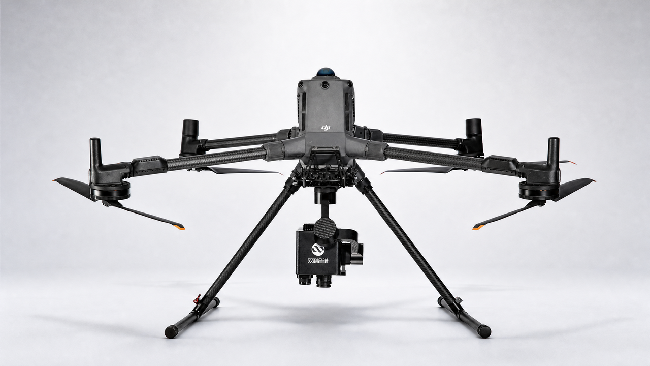
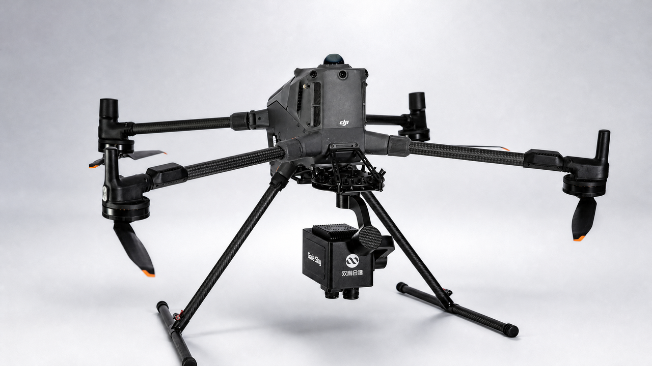
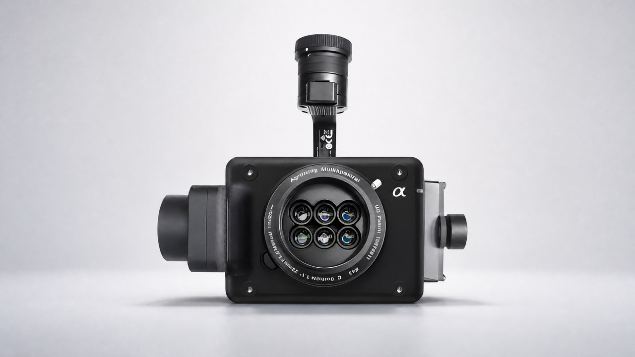
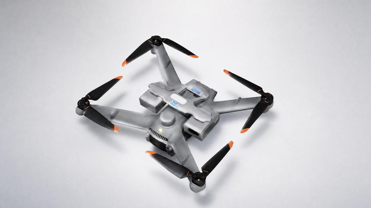
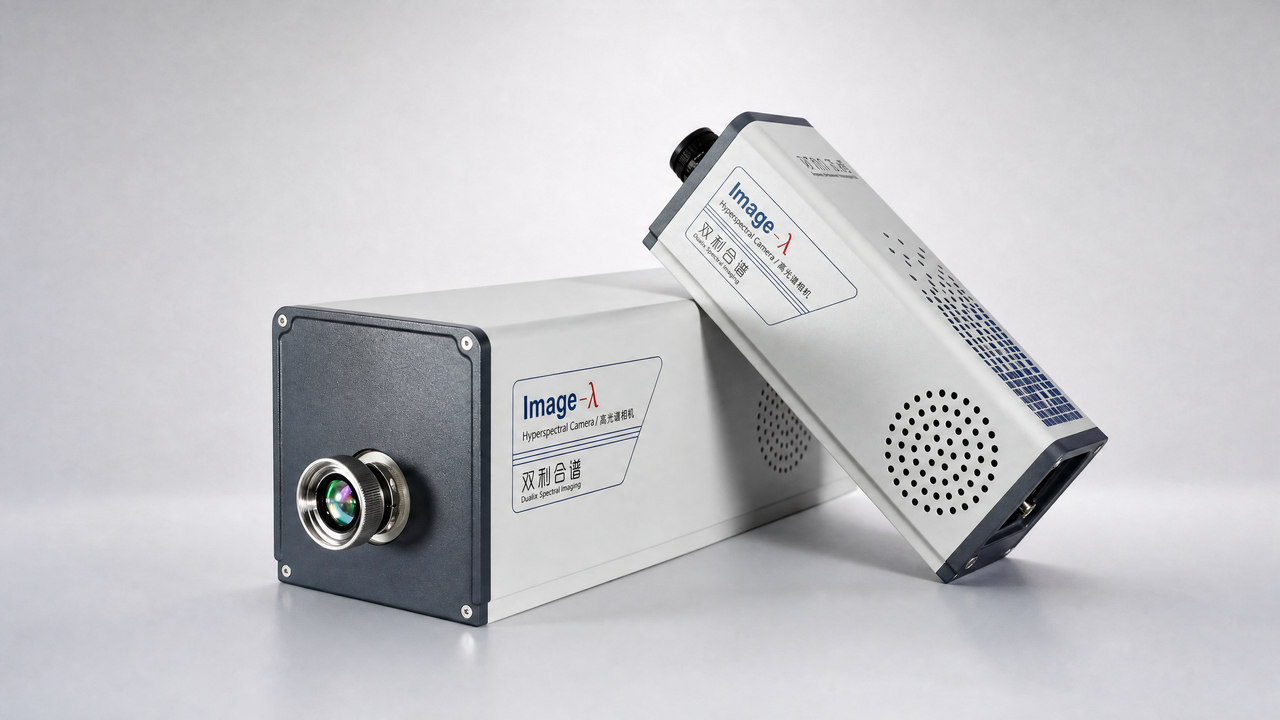
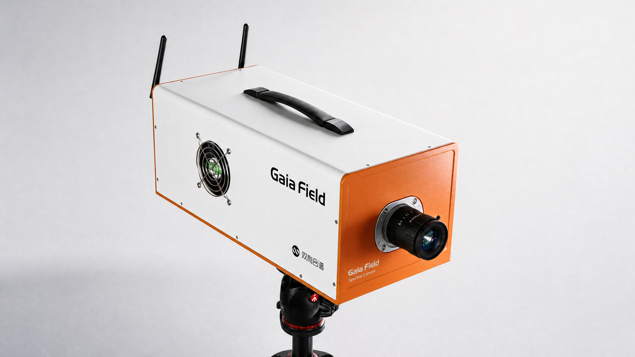
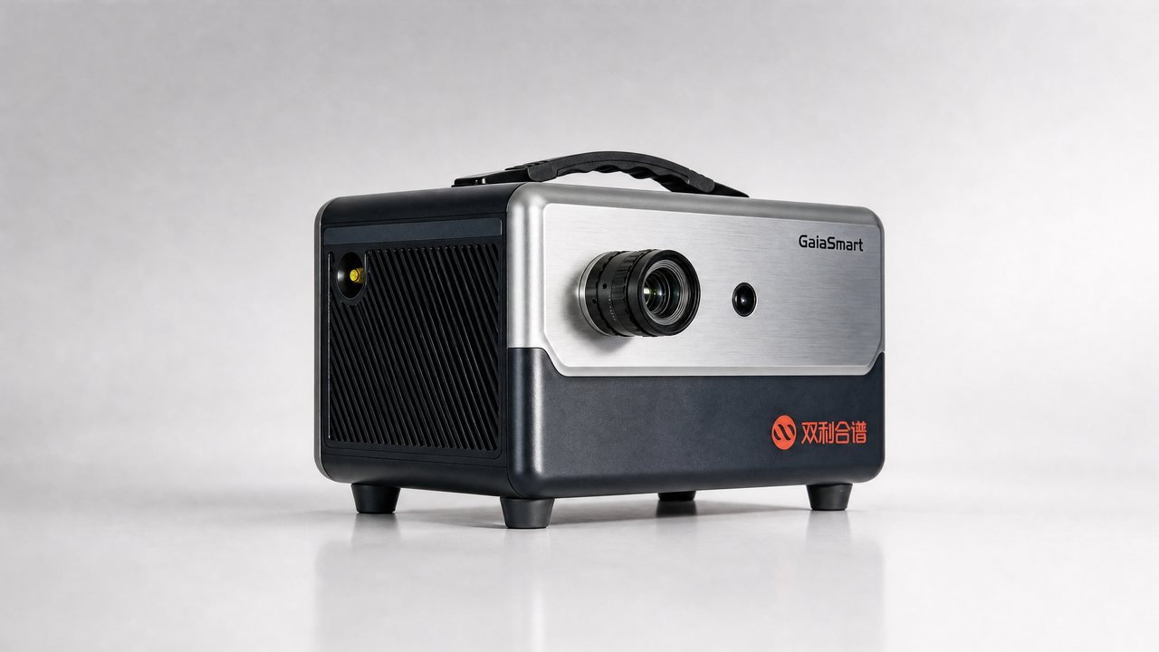
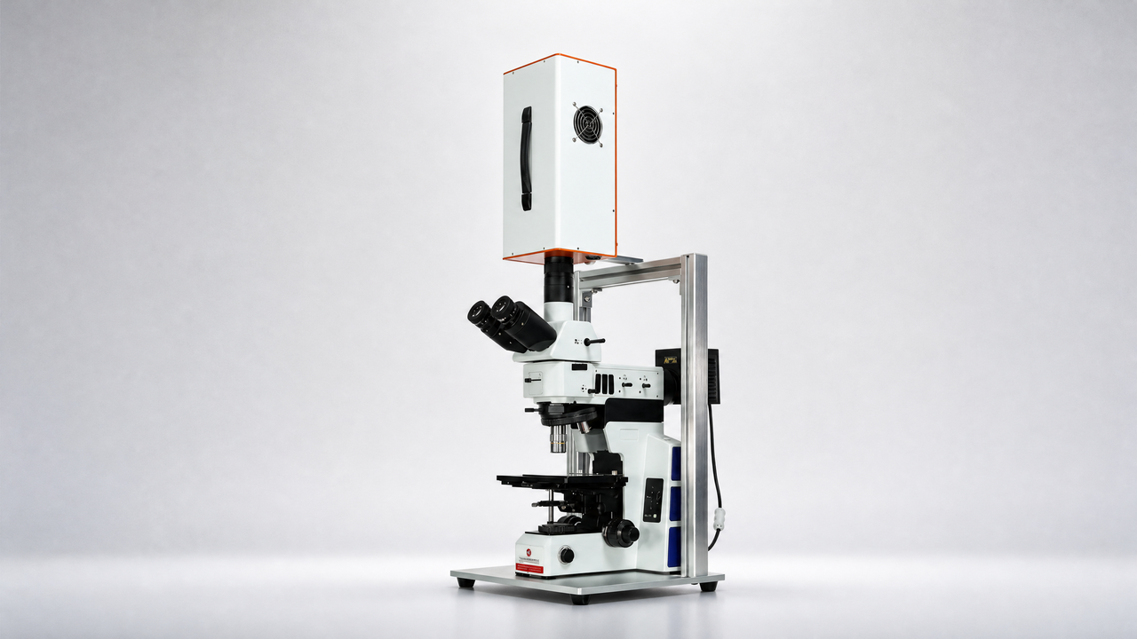
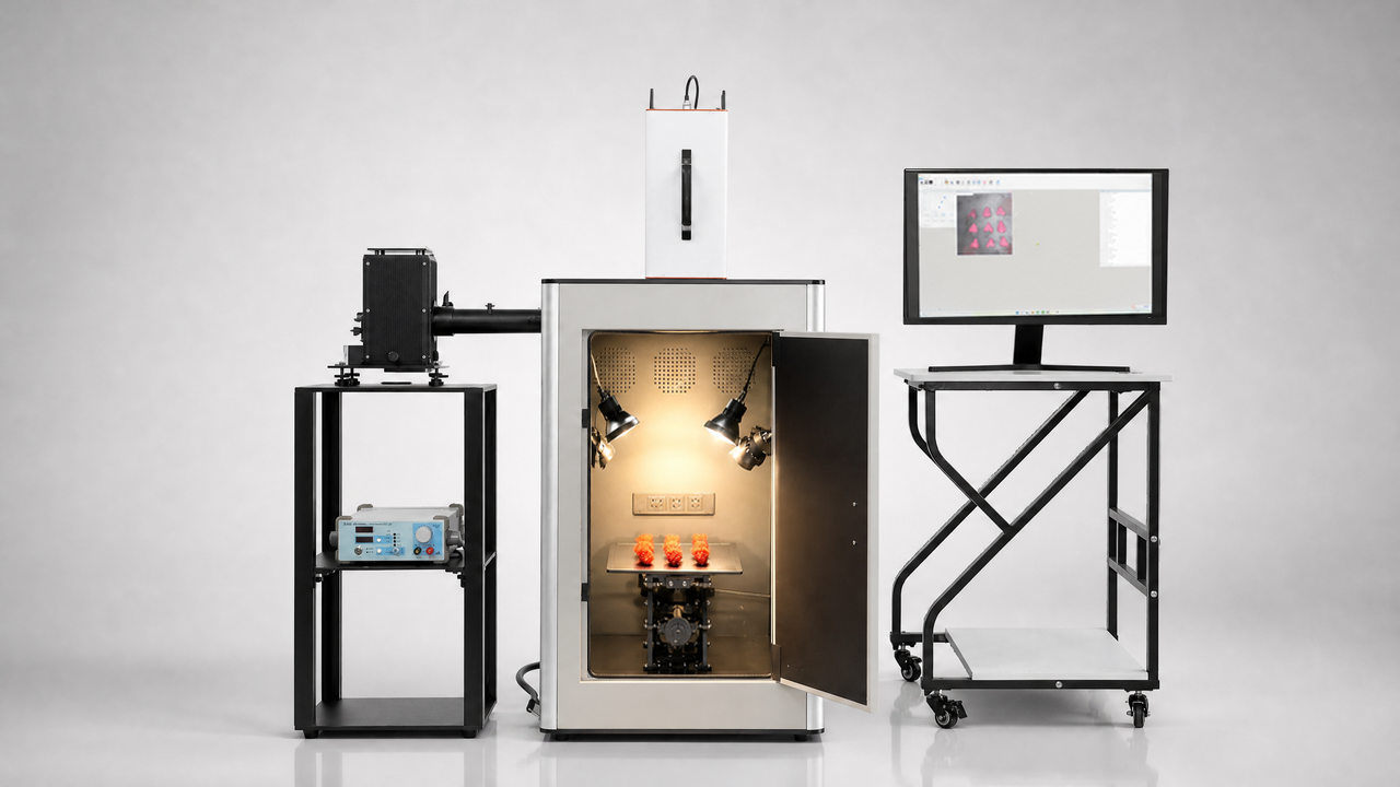
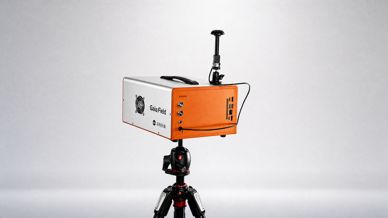
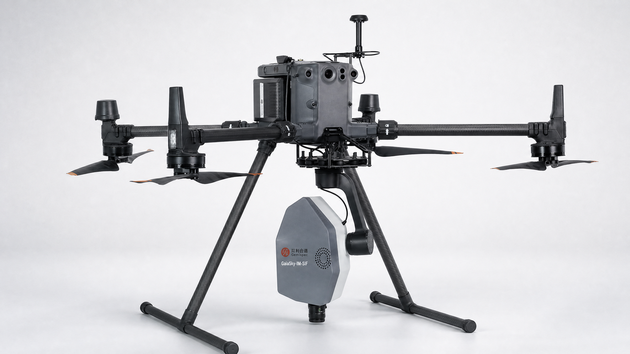
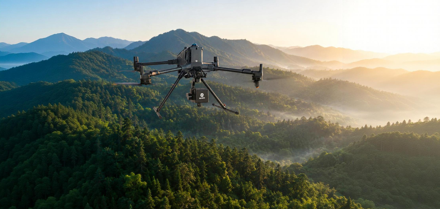
设备:GaiaSky
Exploring the Potential of UAV-Based Hyperspectral Imagery on Pine Wilt Disease Detection: Influence of Spatio-Temporal Scales
Abstract:Pine wilt disease (PWD), caused by pine wood nematode (PWN, Bursaphelenchus xylophilus), poses a serious threat to the coniferous forests in China. This study used unmanned aerial vehicle (UAV)-based hyperspectral imaging conducted at different altitudes to investigate the impact of spatio-temporal scales on PWD detection in an monoculture Masson pine plantation. The influence of spatio-temporal scales on hyperspectral responses of pine trees infected with PWD and detection accuracies were evaluated by Jeffries–Matusita (J-M) distances and the random forest (RF) algorithm. The optimal vegetation indices (VIs) and spatial resolutions were identified by comparing feature importance and model accuracy. The main results showed that the VIs and J-M distances were greatly affected by spatio-temporal scales. In the early, mid-, and late infection stages, the RF-based PWD detection model had accuracies ranging between 72.05 and 79.48%, 83.71 and 89.59%, and 96.81 and 99.28%, peaking at the 10 cm, 8 cm, and 4 cm spatial resolutions, respectively. The green normalized difference vegetation index (GNDVI) and red edge position (REP) were the optimal VIs in early and mid-infection stages, respectively. This study can be important to improve the efficiency of PWD detection and reducing the loss of forests resources.
Keywords:pine wilt disease; UAV-based; hyperspectral; spatio-temporal scale.